
CAREY, Mathew (1760-1839)
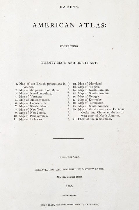
Carey's American Atlas: Containing Twenty Maps and One Chart
Philadelphia: engraved for and published by Mathew Carey, 1805. Folio. (17 1/8 x 10 7/8 inches). Letterpress title (incorporating a list of the maps) printed on wove paper, otherwise engraved throughout on laid paper. 21 engraved maps (11 double-page, 5 folding, 3 with period hand-colouring in outline).
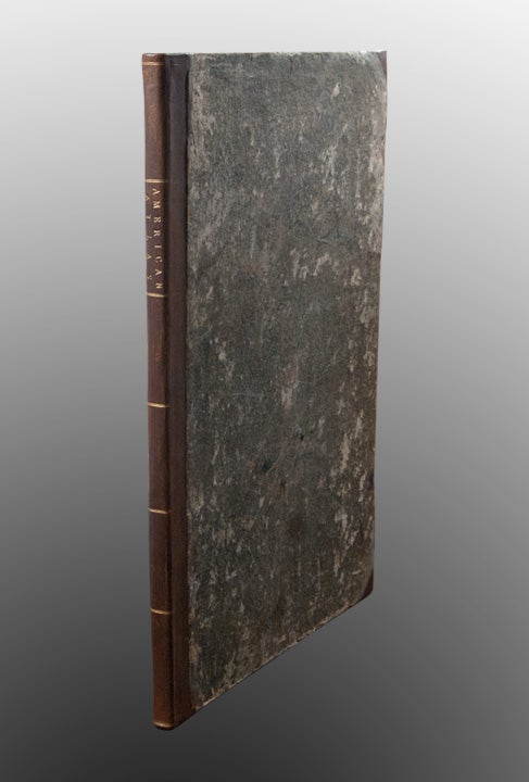
Expertly bound to style in diced russia over the original marbled paper-covered boards, flat spine in compartments divided by gilt double fillets, lettered in the second compartment
An exceedingly rare issue of the first atlas of the United States published in America.
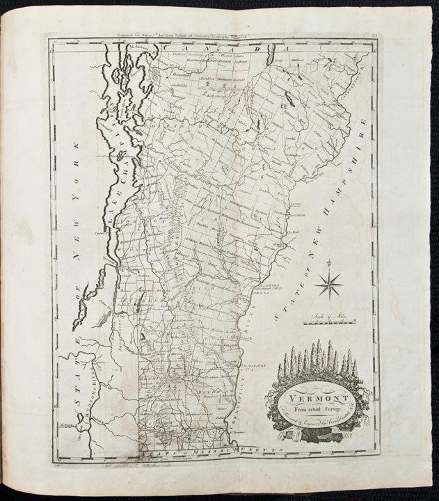
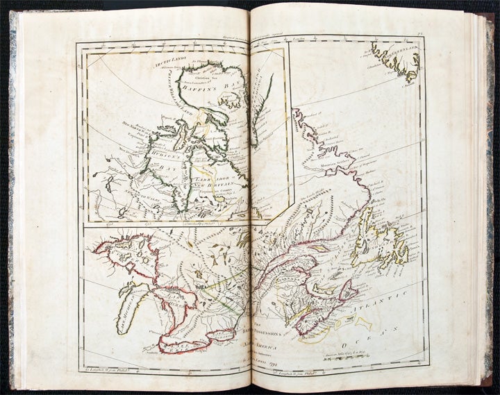
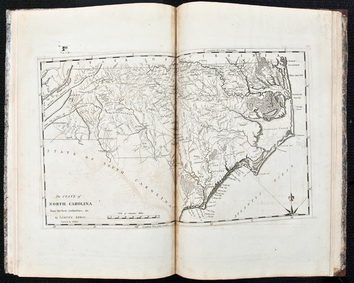
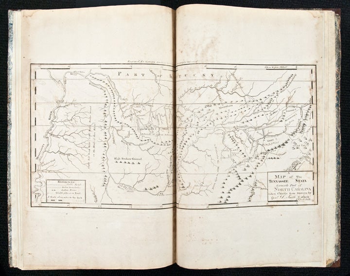
This scarce atlas contains the same maps as the first edition of Carey's American Atlas of 1795. Following that first edition, the first atlas of the United States published in America, Carey printed from the same copper plates used for the 1796 first edition of his General Atlas, adding plate numbers to the upper right corners. Carey would re-issue his General Atlas in 1800 and 1804. Less well known, however, is the fact that he would also reissue the American Atlas in 1800 and 1805. Those issues of the American Atlas contained maps printed subsequent to the 1796 General Atlas, and therefore include the plate numbers from that work, thus explaining the haphazard numbering of the maps. Other than the addition of the plate numbers, the maps are from the same plates and appear to be identical to the first edition maps from the American Atlas of 1795. All the maps are printed on laid paper, and are preceded by a cancel letterpress title on wove. It seems likely, that Carey published this issue of the atlas from his remaining stock of the maps from the 1796 General Atlas with the addition of the cancel title. This would explain the presence of period hand-colouring on some of the maps in this copy, but not all. Although the title states the price of the atlas to be $5 plain and $6 colored, a contemporary ink inscription on the front pastedown suggests the atlas was sold for $4. A second edition of the American Atlas would be published in 1809, containing additional maps. The maps in the present atlas are as follows: 1. The British Posessions in North America ... by Samuel Lewis 1794. Double page, hand coloured in outline 2. The Province of Maine ... by Samuel Lewis, 1794. Hand coloured in outline 3. The State of New Hampshire ... by Samuel Lewis, 1794. Double page, hand coloured in outline 4. Vermont From actual survey ... by Amos Doolittle. Folding 5. The State of Massachusetts ... by Samuel Lewis. Double page 6. Connecticut ... by A Doolittle. Folding 7. The State of Rhode Island ... by Harding Harris. 8. The State of New York ... by Samuel Lewis. 1795. Double page 9. The State of Pennsylvania ... by Samuel Lewis. Double page 10.The State of New Jersey ... compiled by Samuel Lewis. Double page 11. Delaware ... W. Barker, sculp. 12. The State of Maryland ... by Samuel Lewis. Folding 13.The State of Virginia ... by Samuel Lewis. 1794. Double page. 14.The State of North Carolina .. by Samuel Lewis. Double page 15.Tthe State of South Carolina ... by Samuel Lewis. 1795. Double page 16.Georgia ... W. Barker, sculp. 17. Kentucky, reduced from Elihu Barker's large map. W. Barker sculp. Double-page. 18. A Map of the Tennassee State ... taken chiefly from surveys by Genl. D. Smith. & others, J.T. Scott sculp. Double-page. 19. A map of South America. Folding 20. A map of the Discoveries made by Capts. Cook & Clerke ... J.T. Scott, sculp. 21.A Chart of the West Indies ... W. Barker sculp. Folding. The later issues of the first edition of the American Atlas -- i.e. the issues of 1800 and 1805 (as here) -- are very rare. Neither are cited in Phillips or LeGear and we can find no examples of this 1805 issue in the book auction records or OCLC.
Howes C135 (seemingly confusing issues of the American Atlas with Carey's American Pocket Atlas); Streeter Sale 79 (1800 issue). This issue not in Phillips or Sabin.
Item #24647
Price: $13,500.00