
BELLIN, Jacques Nicolas (1703-72)
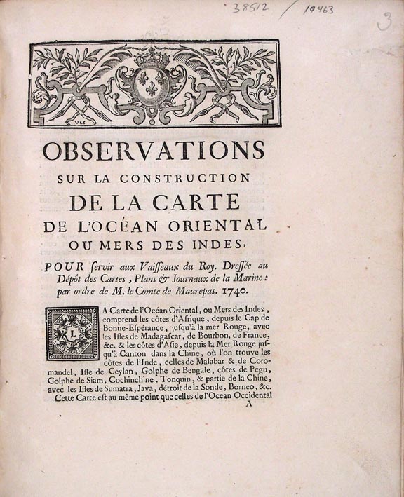
Observations sur la Construction de la Carte de l'Océan Oriental ou Mers de Indes, pour servir vaisseaux du roy, dressée au dépost des cartes, plans & journaux de la marine, par ordre de M. le comte de Maurepas, 1740
[Paris]: Jacques Guerin, 1739 [i.e.: 1740]. Quarto. (9 5/8 x 7 13/16 inches). 35pp.Contemporary manuscript corrections in text on pp.7, 12, 21, 28, and 30. (Small tear at outer margin of first leaf).
Contemporary paper-backed boards
Provenance: Earls of Macclesfield (library shelf marks, blind stamps)
The rare first edition of Bellin's extensive account of his map of the Indian Ocean.
The work includes lengthy separate analyses of the coasts of Africa from the Cape of Good Hope to the Red Sea, Madagascar and other isles in the Indian Ocean, and the coasts and isles of Asia from the Red Sea to China. In addition to these geographic locations, observations made in the regions by various explorers are cited. The cartographer Bellin was employed for more than five decades in the French Hydrographic Service, where he served as the first "Ingénieur hydrographe de la Marine." Commissioned to develop new surveys of the coasts of France and then the known coasts of the world, these were published, respectively, as Le Neptune Français in 1735 and the Hydrographie Français between 1756 and 1765. Bellin also published a Petit Atlas Maritime with 580 charts and plans of harbors, issued in five volumes in 1764. The present work was later reprinted as one of thirty reprinted pamphlets in the author's Recueil des Memoires qui ont été publiés avec les Cartes Hydrographiques (Paris, ca. 1767). Remarkably rare in this original printing: not in OCLC; RLIN records only a reprint at the JCB issued as part of the author's Recueil....
Cf. Sabin 4556.
Item #19463
Price: $4,500.00