
BLAEU, Willem (1571-1638)
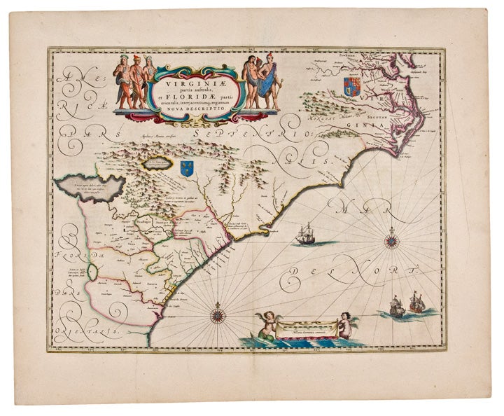
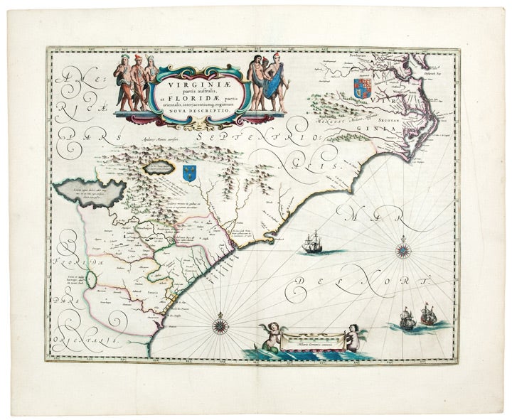
Virginiae partis australis et Floridae partis orientalis, interjacentiumq, regionum Nova Descriptio.
Amsterdam: Blaeu, 1640. Copper engraving with period outline hand colour, Latin text on verso. Sheet size: 19 1/2 x 24 inches.
Important early Dutch map of southeastern America: this copy with exceptionally wide margins and with very fine period hand colouring.
This is the second state of Blaeu's map of the southeastern portion of North America. The map depicts the region from present day northern Florida to Chesapeake Bay. France is shown as governing the southern portion of this land (though they had been forced out in fact some time before by the Spanish) and Great Britain as ruler of the northeast. As pointed out by Burden, this map improves on the Hondius-Mercator map of the same region in its depiction of the Outer Banks and in its inclusion of the Chesapeake Bay, and it provided the best depiction of the region until 1700. Its handsome cartouche surrounded by full figure Native Americans and its elaborate calligraphy contribute to make it one of the most artistically successful maps of 17th century America.
Cumming, 41 (plate 26); Burden, The Mapping of North America 253; Goss, 31.
Item #23454
Price: $1,500.00