
PIKE, Zebulon Montgomery (1779-1813)
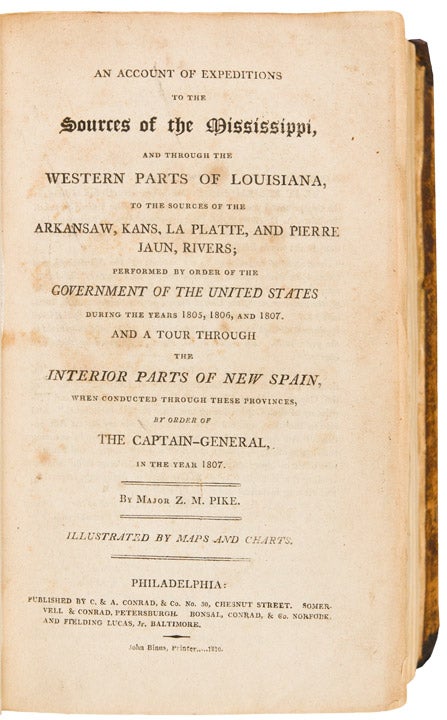
An Account of Expeditions to the Sources of the Mississippi, and through the western parts of Louisiana, to the sources of the Arkansaw, Kans, La Platte, and Pierre Jaun Rivers ... during the years 1805, 1806, and 1807. And a tour through the interior parts of New Spain ... in the year 1807
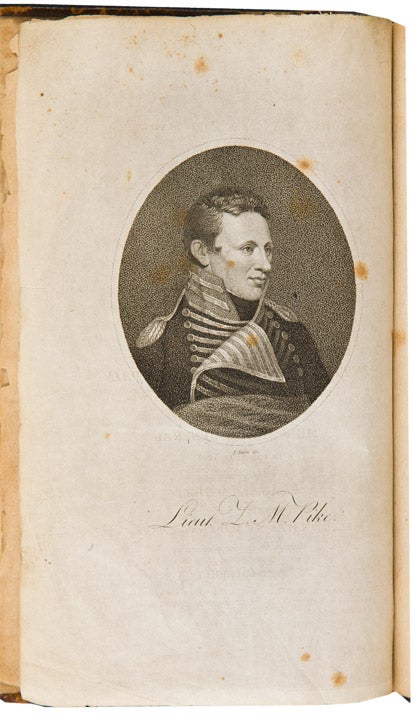
Philadelphia: Printed by John Binns, published by C. & A. Conrad, & Co. of Philadelphia, Somervell & Conrad of Petersborough. Bonsal, Conrad, & Co. of Norfolk, and Fielding Lucas Jr. of Baltimore, 1810. 8vo. (8 3/8 x 5 1/4 inches). Stipple-engraved India paper proof portrait frontispiece of Pike by Edwin, 6 engraved maps (5 folding), 3 folding letterpress tables.
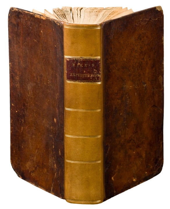
Contemporary tree calf boards, rebacked in calf and retaining original gilt morocco spine label.
One of the most important of all American travel narratives: the first edition of the report of the first United States government expedition to the Southwest, including an account of Pike's exploration of the headwaters of the Arkansas and Red rivers, the sources of the Mississippi River, and the Spanish settlements in New Mexico.
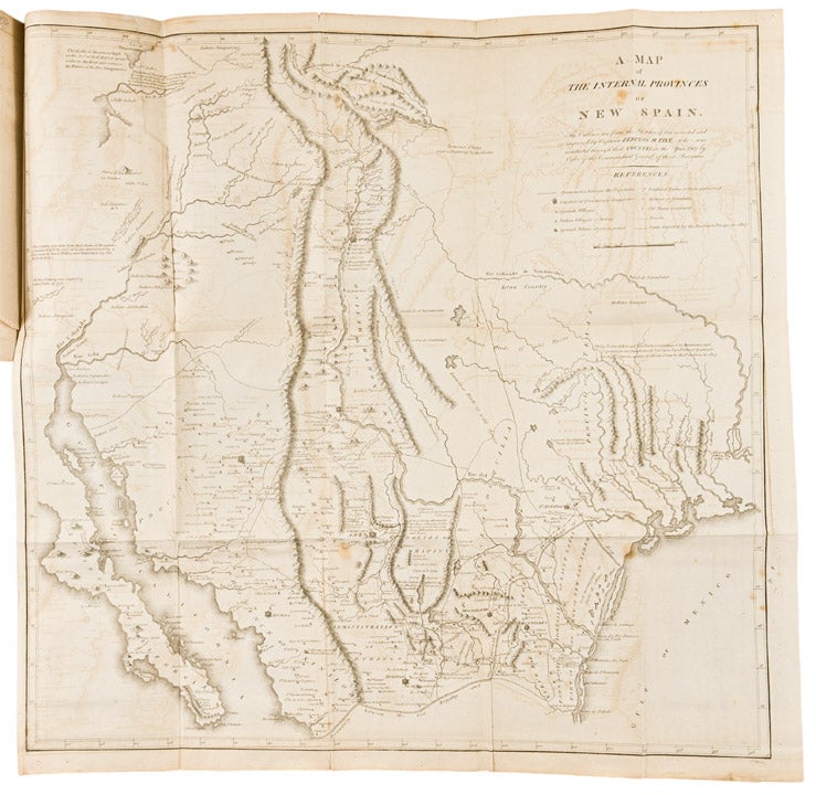
Pike's narrative stands with those of Lewis and Clark, and Long, as the most important of early books on western exploration and as a cornerstone of Western Americana. "In 1805, Pike was given the difficult assignment of conducting a reconnaissance of the upper Mississippi region. He was ordered to explore the headwaters of that river, to purchase sites from the Indians for further military posts, and to bring a few influential chiefs back to St. Louis for talks. The trip was only moderately successful as a mission to the tribes, but Pike was able to convey important geographical information to President Jefferson and other Washington officials. On Pike's second expedition, 1806-1807, he was assigned to explore the head-waters of the Arkansas River, then proceed south and descend the Red River from its source ... Pike and his men were taken into custody by a Spanish patrol, and Pike was able to observe many areas in New Mexico, Chihuahua, and Texas ... His book created interest in the Southwest and stimulated the expansionist movement in Texas" (Hill). The maps were the first to exhibit a geographic knowledge of the Southwest based on first-hand exploration and are considered "milestones in the mapping of the American West" (Wheat). "The description of Texas is excellent" (Streeter, Texas).
Bradford 4415; Braislin 1474; Field 1217; Graff 3290; Hill (2004) 1357; Howes P373; Jones 743; Rittenhouse 467; Sabin 62836; Streeter Sale 3125; Streeter Texas 1047C; Wagner-Camp 9:1; Wheat Transmississippi 297, 298, 299.
Item #27020
Price: $14,500.00