
ARROWSMITH, Aaron (1750-1823)
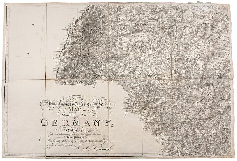
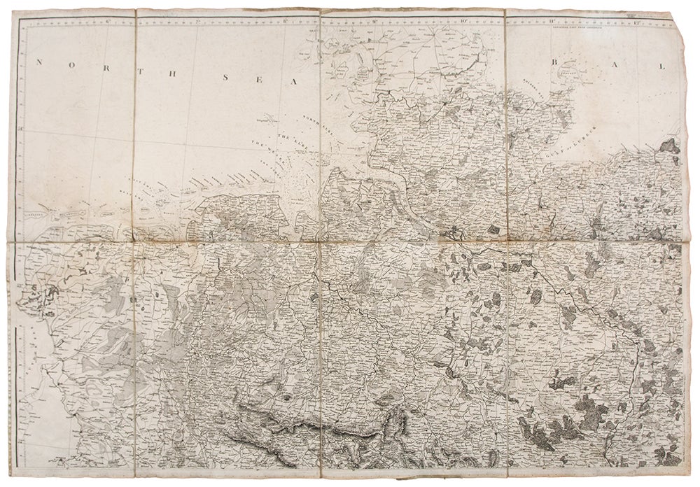
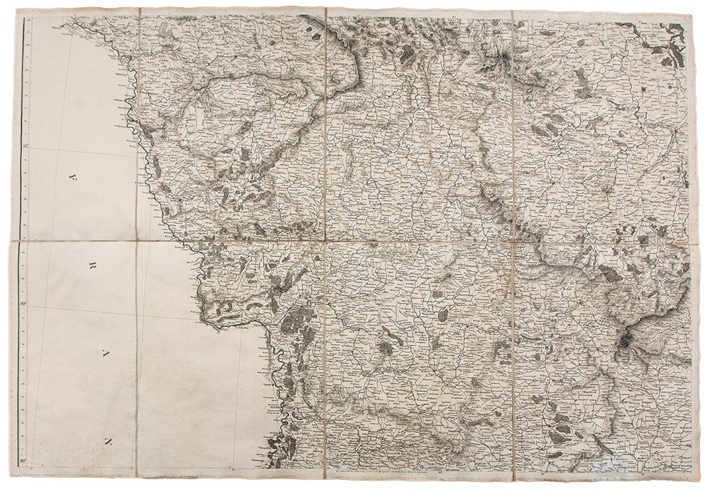
To His Royal Highness the Duke of Cambridge, K. G. &c. This Map of the Physical Divisions of Germany Exhibiting the Post Roads, Canals, &c. Constructed from Original Materials...
London: Aaron Arrowsmith, 2nd October, 1812. Copper engraved case map in six sections, dissected and laid on linen. Overall, if joined, 52 1/2 x 77 3/4 inches. Minor soiling at edges.
First issue of Arrowsmith's highly detailed depiction of Germany made during the Napoleonic Wars
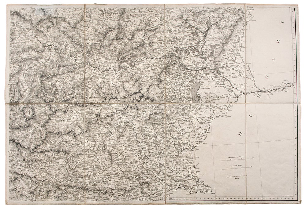
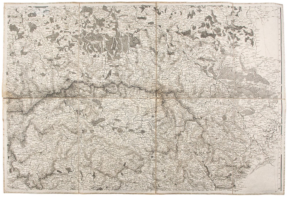
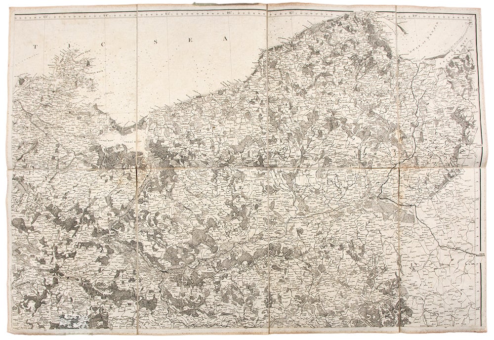
The Duke of Cambridge, to whom Arrowsmith dedicated this map, was the 7th son of George III, Adolphus. He had been a student at the university at Göttingen, studied military tactics in Prussia and served as an officer in the Hanoverian Army. Hanover had suffered greatly from invasions from both Prussia and France during the wars, so it was altogether fitting that this superb map was dedicated to him. The map itself is a model of clarity and obviously made for military uses: emphasizing topographical features and roads. It is also handsomely engraved with superlative title calligraphy by J. Rowe. This is a state of the map different from others we have found recorded in that two flaps at the base depicting northern Italy are not present, however, the fact that the longitude numbers as well as the publication line: "London, Published 2nd October 1812 by A. Arrowsmith Hydrographer to H. R. H. the Prince of Wales, No. 10 Soho Square" are printed at the bottom suggests a completed map in a form clearly intended by the publisher. The map comprising all the then disparate parts of Germany as well as Switzerland and Austria was the most comprehensive cartographical account of the region for that time. Aaron Arrowsmith was the founder of one of the leading London map publishing houses in the early part of the nineteenth century. He came to London about 1770 from Durham, his birthplace, and worked as a surveyor for John Cary for whom he carried out some of the road surveys which subsequently appeared in Cary's Travellers' Companion in 1790. In that year he set up his own business in Long Acre and soon established an international reputation as a specialist in compiling maps recording the latest discoveries in all parts of the world. He produced, and constantly revised, a great number of large-scale maps, many issued singly as well as in atlas form. After his death the business passed to his sons, Aaron and Samuel, and later to his nephew John who maintained his uncle's reputation, becoming a founding member of the Royal Geographical Society. In all, the Arrowsmiths issued over 700 maps.
Item #30877
Price: $1,200.00