


SCOTT, Joseph
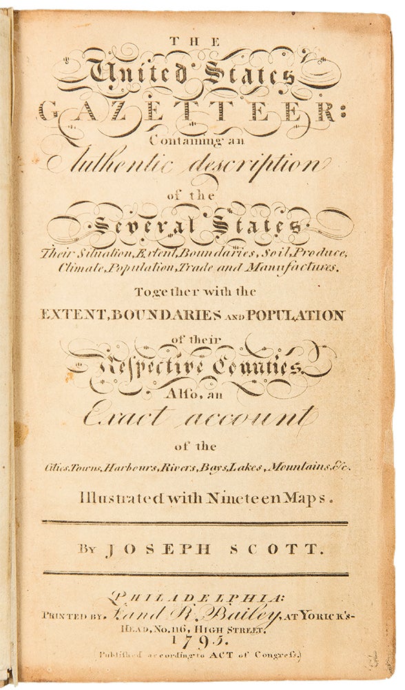
The United States Gazetteer: Containing an Authentic Description of the Several States. Their Situation, Extent, Boundaries, Soil, Produce, Climate, Population, Trade and Manufactures. Together with the Extent, Boundaries and Population of their Respective Counties. Also, an Exact Account of the Cities, Towns, Harbours, Rivers, Bays, Lakes, Mountains, &c.
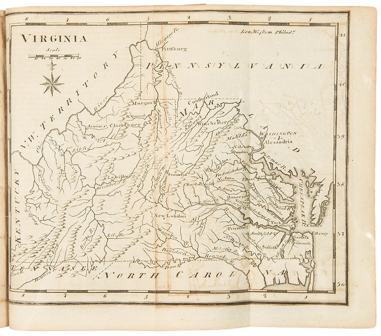
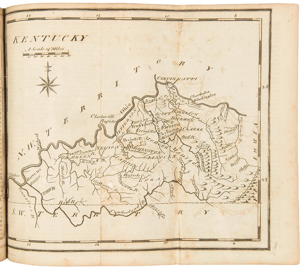
Philadelphia: F. and R. Bailey, 1795. 12mo. (6 3/8 x 3 3/4 inches). Engraved title, [iii]-vi, errata leaf, blank leaf, [292]pp. 19 engraved folding maps.
Expertly bound to style in period tree sheep, flat spine, gilt, red morocco lettering piece.
The first gazetteer of the United States with an important series of engraved American maps: an American cartographic cornerstone.
These, with the maps in Carey's American Atlas that were issued the same year, represent a major step forward in American cartography. Scott's maps cover the United States in general, Connecticut, Delaware, Georgia, New Jersey, Kentucky, Maine, Maryland, Massachusetts, New Hampshire, New York, North Carolina, Pennsylvania, Rhode Island, South Carolina, Vermont, Virginia, the Northwest Territory, and the Southwest Territory. An important early work of U.S. cartography and among the earliest mappings of each state.
Clark III:123; Evans 29476; Howes S237; Sabin 78331; Wheat & Brun 125.
Item #31288
Price: $5,750.00