
DU HALDE, Jean Baptiste (1674-1743)
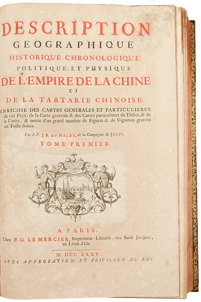
Description géographique, historique, chronologique, politique et physique de l'Empire de la Chine et de la Tartarie
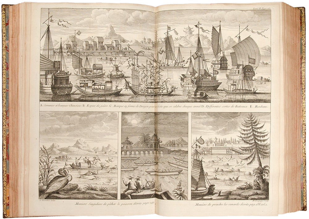
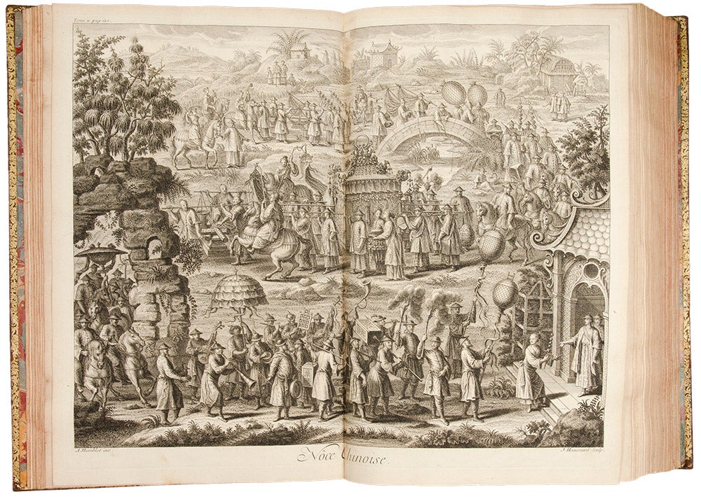
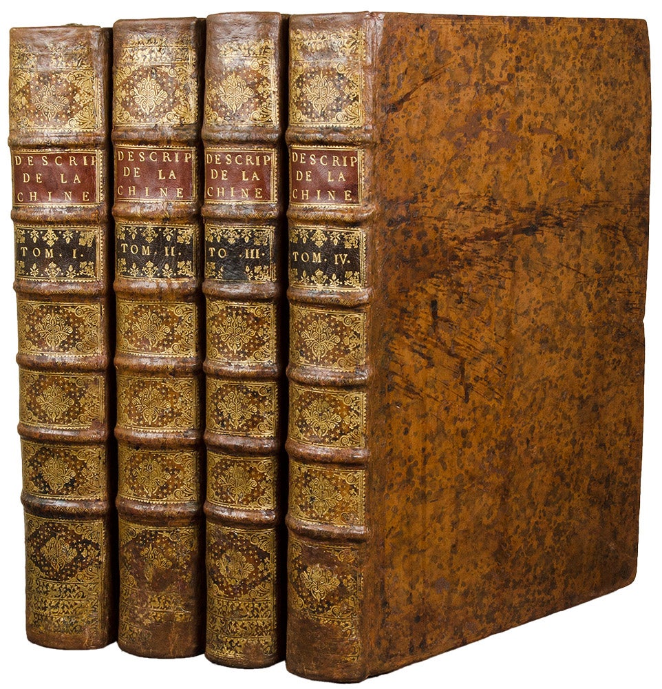
Paris: Le Mercier, 1735. 4 volumes, folio. (17 x 11 inches). Titles printed in red and black with engraved vignettes by M. Baquoy after A. Humblot, half-titles. 65 engraved maps and plates (including 1 page of engraved sheet music) by Delahaye, Desbrulins, and Fonbonne after d'Anvillee, Humblot, Lucas, Le Parmentier and others, 4 engraved head-pieces after Humblot, occasional engraved initials. Moderate age toning.
Contemporary French mottled calf, spines with raised bands in seven compartments, red and block morocco lettering pieces in the second and third compartments, the others with an overall repeat decoration in gilt, marbled endpapers (repairs at joints and head and tail of spines).
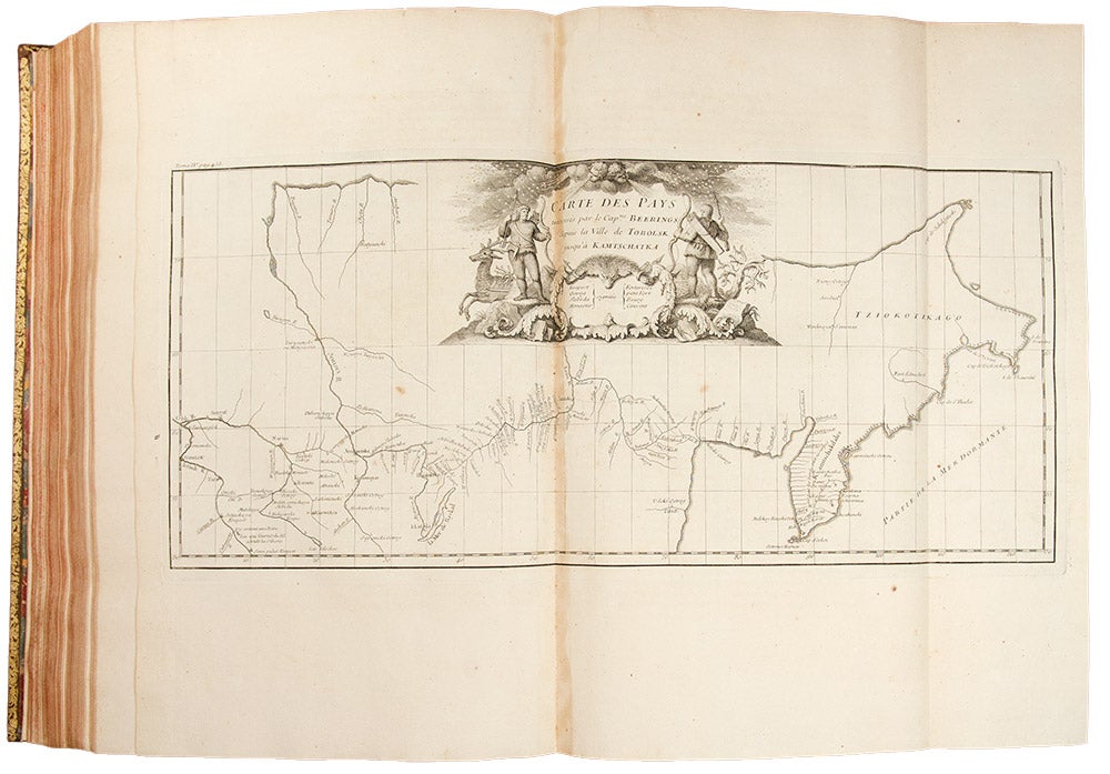
The first edition of Du Halde's celebrated and comprehensive history of China and the most important cartographic record of the region from the eighteenth century. The work is further noted as a cornerstone of northwest Americana, as it contains the earliest printed record of Bering's first expedition with the earliest map of any portion of present-day Alaska.
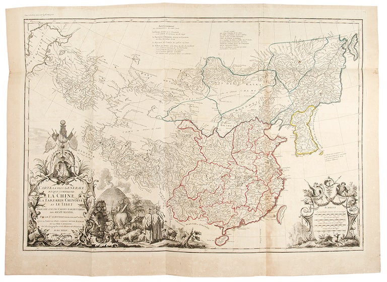
In 1685, seeking to capitalize on failing relations between China and the Portuguese (i.e. papal) missionaries over the rites controversy, Louis XIV sent six French Jesuits to China as scientific emissaries. These early French missionaries would launch incredible interest in France for all things related to China. In 1735, Jesuit priest and historian Jean Baptiste Du Halde was given the monumental task of collating and editing the published and manuscript accounts of Jesuit travellers in China into a single work. Du Halde prominently cites the names of twenty-seven missionaries who served as his primary sources, including Martini, Verbiest, Bouvet, Gerbillon and others. The range of the work is impressive. Not only does Du Halde cover the geography, history, culture and religion of China proper, but geographically he extends the coverage of the work to include neighboring countries. The important maps within Du Halde's work are by Royal geographer Jean Baptiste Bourguignon d'Anville (1697-1782). Based on surveys conducted by French Jesuits at the behest of the Emperor Kang Hsiand, the work constitutes the first scientific mapping of China and forms the most important cartographic record of the region from the eighteenth century. The work also contains the first separate printed map of Korea and the first detailed survey of Tibet. The first volume of Du Halde's history comprises a general description of China, describing each province as well as each historical dynasty; the second volume encompasses government, law, commerce, art, literature, etc.; the third volume treats religion and science; the final volume expands the work to include neighboring regions (Mongolia, Tibet, Korea, etc,) and with accounts of late 17th century expeditions. Within the final volume (pp.452-458), although not listed in the Contents, appears "Relation succinte du voyage du capitaine Beering dans la Sibérie" -- the first published account of Bering's first expedition through the straits that now bear his name. The text is accompanied by an attractive map, titled "Carte des pays traversees par le Capne. Beering depuis la ville de Tobolsk jusqu' Kamtschatka," considered the first printed map of any portion of present-day Alaska (i.e. St. Lawrence Island). Lada-Mocarski writes: "The first French folio edition of 1735 is the most desirable and significant. Its importance lies in the Relation succinct ... which is, in abbreviated form, Bering's report of his first expedition. It had not been published previously and the history of its getting into Du Halde's hands is interesting. On Bering's return to St. Petersburg in March 1730 he brought with him a brief report accompanied by a map. This map (and presumably the report) was sent to the King of Poland as a suitable present. The Polish King, in turn, gave the documents to the Jesuit Du Halde with permission to use them as he saw fit. Thus, the first printed report of Bering's 1725-28 expedition burst upon the world in the French work herein described. It was not until much later that a more complete narrative of this historical event was published in Russia."
De Backer & Sommervogel IV:35; Brunet II:870; Cordier I:45-8; Cox I:355; Lust 12; Lada-Mocarski 2; Wickersham 6099; Löwendahl 394.
Item #31324
Price: $37,500.00