
MITCHELL, Samuel A. (1790-1868)
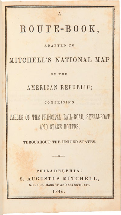
A Route-Book, Adapted to Mitchell's National Map of the American Republic; Comprising Tables of the Principal Rail-Road, Steam-Boat and Stage Routes, Throughout the United States
Philadelphia: S. Augustus Mitchell, 1846. 16mo. 46pp., plus large folding map, 25 x 34 1/4 inches, with full period color.
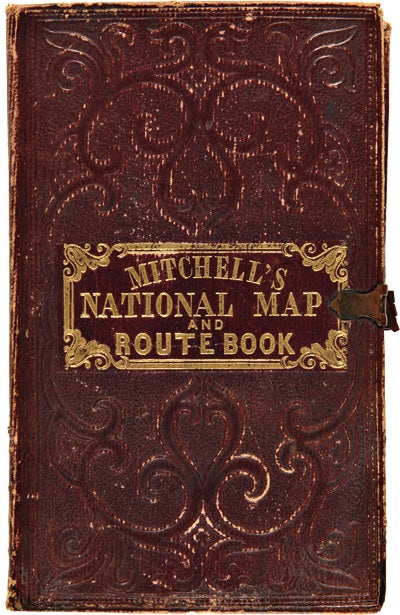
Original blindstamped and gilt purple morocco, with original clasp. Morocco a bit rubbed and edgeworn. One significant tear from the left edge where bound in, with no loss; several other noticeable separations along folds.
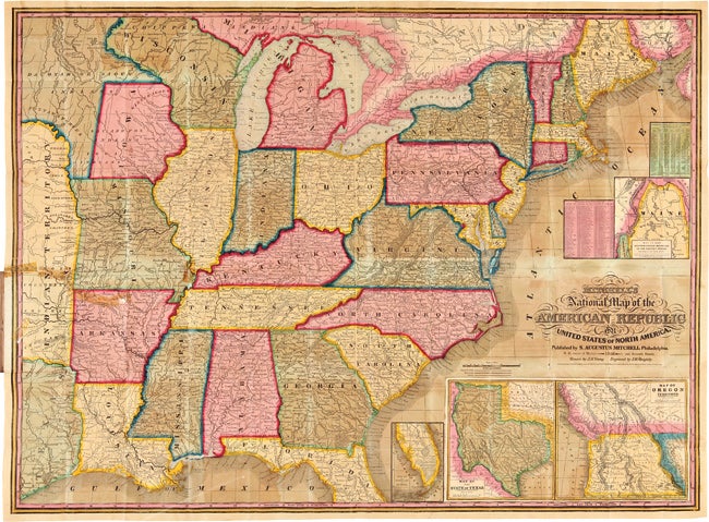
Second edition, after the first of 1843, of this rare pocket map of North America, showing the United States west to Texas, Indian Territory, and Dakota Territory (i.e. 19° longitude west of Washington, D.C.).
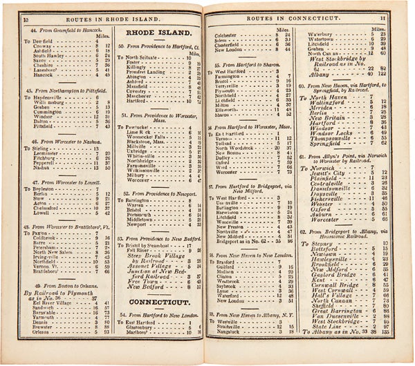
The map, J.H. Young's "Mitchell's National Map of the American Republic or the United States of North America," is revised and updated from the 1843 version, most notably by the addition of the newly created Territory of Iowa. The inset map of Texas is new to this 1846 edition, and dates from the first year of statehood, still showing Texas with its Republic boundaries. The Oregon inset is also new, and shows the Oregon border going north into Canada, i.e. before the 1846 treaty boundaries. There are also two population tables, and the text lists the major railroad, steamboat, and stage routes all the way west to Iowa, Wisconsin, and Missouri. The four insets are: "Map of the North-Eastern boundary of the United States According to the Treaty of 1842," "Map of the Southern part of Florida," "Map of Oregon Territory," and "Map of the State of Texas." These four insets take the place of the thirty-two small inset maps of cities and town from the 1843 version of the map. Rumsey lists only the wall map version of this 1846 map. OCLC locates eight copies of this important pocket map.
OCLC 228693421, 8551053; Ristow, p.310; Rumsey 3796 (ref).
Item #31381
Price: $4,500.00