
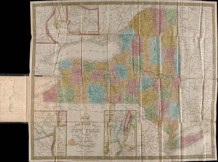
[MITCHELL, S. Augustus]
Map of the State of New York Compiled from the Latest Authorities
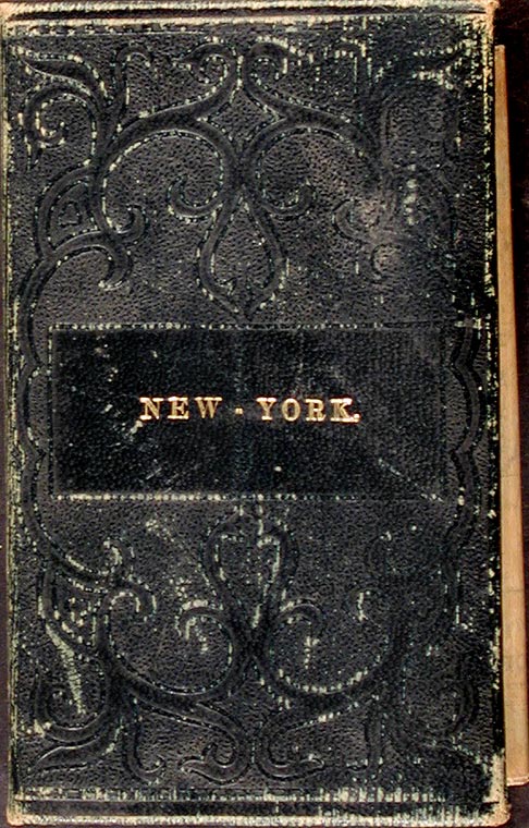
Philadelphia: S. Augustus Mitchell, 1839. Full period color, (17 x 20 1/2 inches), folding into gilt-stamped brown leather covers. Statistical table laid down inside front cover. Minor repairs, a bit of staining.
The fourth Mitchell edition of D.H. Vance's map of New York State. Extensive additions to New York's embryonic railroad system, both on the main and the inset maps. "Sold by Thomas Cowperthwait & Co. No. 253 Market Street." added below neat line. The front covers now stamped "New-York." With five insets: "Map of the Hudson River," "Vicinity of Albany," "Vicinity of New York," "Vicinity of the Falls of Niagara" and "Vicinity of Rochester." This edition not in Rumsey; not in Phillips.
Item #3248
Price: $300.00