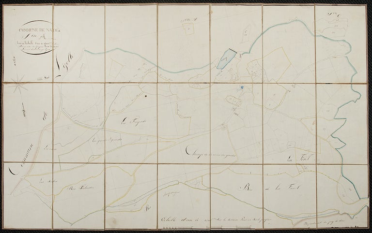

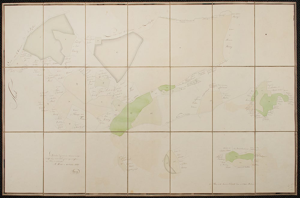
[MANUSCRIPT MAP OF NADES, FRANCE] - M. THIBAUDIN (?)
Commune de Nades
Nades: 1827. Watercolor, pen and ink, and pencil. Paper dissected and backed on brown linen. Two sheets, dissected and backed on linen. Sheet size: 26 3/8 x 40 1/8 inches.
These are two hand-drawn maps of the small village of Nades in the Auvergne region in central France on folded, linen backed and dissected sheets done in 1827. They show the major geographical features: a number of forests and rivers, and property lots with the names of their owners. They appear to be maps of two different sections of the town, and may have been drawn by different surveyors.
Item #34284
Price: $250.00
See all items in
Europe
See all items by FRANCE MANUSCRIPT MAP OF NADES, - M. THIBAUDIN