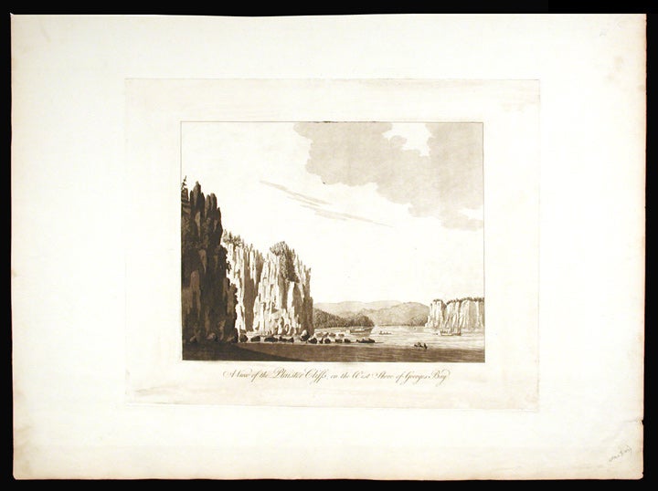

DES BARRES, J.F.W. (1721-1824)
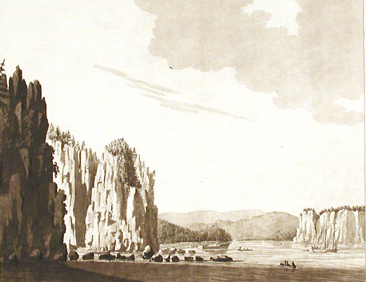
A View of the Plaister Cliffs, on the West Shore of Georges Bay
London: Published by J.F.W Des Barres in 'The Atlantic Neptune', circa 1770-1781. Etching with aquatint, printed in sepia. Printed on laid paper with watermark `J Bates' and countermark `JB'. Sheet size: 23 3/4 x 32 1/2 inches.
A large-scale view of the scenery near Lakevale and Antigonish on the North West coast of Nova Scotia, from 'The Atlantic Neptune', the first British sea atlas of her North American colonies
This is a very fine scene depicting a dramatic point where the highlands of Nova Scotia cascade into the Gulf of St. Lawrence. This is the second state of this view, and is identical to the Henry Stevens Collection, variant 70B, in the National Maritime Museum, Greenwich. Des Barres studied under the great mathematician Daniel Bernoulli at the University of Basel, before continuing on to the Royal Military College at Woolwich. On the outbreak of the Seven Years war in 1756, he joined the British Royal American Regiment as a military engineer. He came the attention of General James Wolfe, who appointed him to be his aide-de-camp. From 1762, Des Barres was enlisted to survey the coastlines of Nova Scotia, Newfoundland, and the Gulf of St.Lawrence, while his colleague, Samuel Holland charted the New England coast. In 1774, Des Barres returned to England where he began work on the Neptune. His dedication to the project was so strong, that often at his own expense, he continually updated and added new charts and views up until 1784. That year he returned to Canada, where he remained for a further forty years, becoming a senior political figure and a wealthy land owner, and living to the advanced age of 103. The Atlantic Neptune was the first British sea atlas of her North American colonies, and one of the most important achievements of eighteenth century cartography. With an official commission from the Royal Navy, Des Barres published the first volume in London in 1775, which was soon followed by further volumes. Des Barres' monumental endeavor eventually featured over two-hundred charts and aquatint views, many being found in several states. All of the charts were immensely detailed, featuring both hydrographical and topographical information. Des Barres' plates were used to print further editions up into the first decade of the nineteenth-century. The Neptune met with the highest acclaim from the beginning, and is today widely regarded as superior to all other atlases produced during its time.
Spendlove, The Face of Early Canada, Chapter 4: "J.F.W. Des Barres and The Atlantic Neptune"; pp. 18-22; Debard, "The Family Origins of Joseph Fredericks Wallet DesBarres: A Riddle Finally Solved", Nova Scotia Historical Review, Vol 14, No. 2 (1994), p.15; National Maritime Museum: Henry Stevens Collection: K0231 HNS 70B.
Item #3608
Price: $3,750.00