
SEYMOUR, J. A.
Map of the Allegany County Oil Field
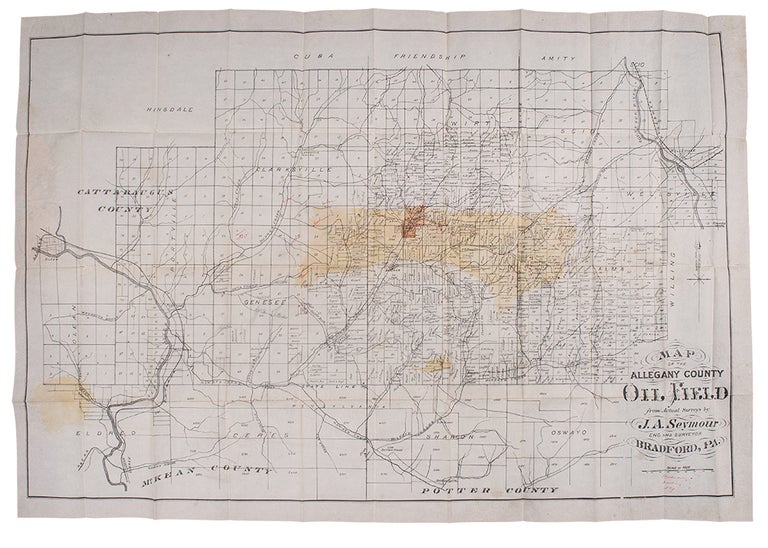
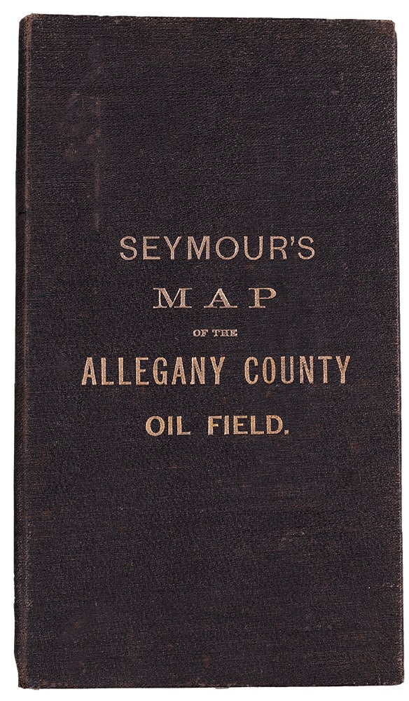
Bradford, PA: [circa 1881]. Folding pocket map, appox. 27 1/2 x 39 1/2 inches, with the oil region hand colored. Numerous manuscript annotations, noting names of landowners and the locations of producing, drilling and dry wells. Folds into publisher's cloth boards.
Scarce relic of the Allegany County, New York oil boom: a cadastral map of the region with manuscript additions showing the locations of wells.
The Pennsylvania oil rush -- the first such boom in America -- had begun in earnest in the 1860s in the Oil Creek Valley near Titusville. But by the 1870s it had begun to die down. Seeking new areas for drilling, in 1881 on a geologist's advice an investor group drilled a well on the Reading Farm in Richburg, New York, about a hundred miles northeast of Titusville. The well came in at 70 barrels on its first day, and sparked the oil boom of 1881. Within days, hundreds of people began to flood into the valley and within ten months there were between 4500 to 5000 people in Bolivar and 7000 in Richburg. Production that first year reached over 6 million barrels in Allegany County. The Richburg Oil Boom would prove short-lived, though would have a great impact on the life of the town's young playwright L. Frank Baum. Some have argued that the brick road between Richburg and Bolivar would prove the basis for his yellow brick road of Oz and that the concept of the Tin Man needing oil to survive was inspired by the boom. The surveyor and engraver of this map would appear to be John A. Seymour, a city engineer from nearby Bradford, PA. Scarce, with only two examples located by OCLC (Pennsylvania State and Stanford).
cf. John P. Herrick, Empire Oil (Dodd Mead, 1949).
Item #38756
Price: $2,500.00