
CHAPMAN, Silas (1813-1899)
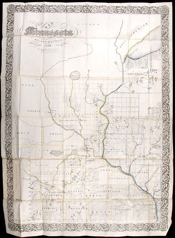
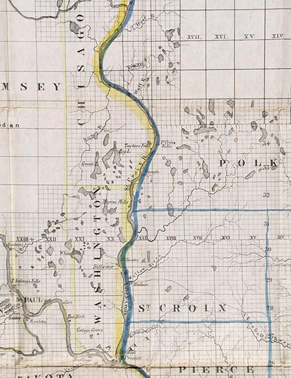
Chapman's Sectional Map of Minnesota
Milwaukee: Silas Chapman, 1856. Colored folding map, (29 3/4 x 23 1/2 inches). Bound into original 16mo. brown cloth folder, gilt-lettered cover. Folder slightly worn and faded. Slight foxing on map. Colors on map generally bright and clean. Overall very good.
A variant state of this important Minnesota map, without priority, published in as many as five versions in 1856. Many of the counties west of St. Paul are unidentified or shown in their earlier, larger incarnations, and the region along the north shore of Lake Superior is unmapped. This edition was published by Silas Chapman himself, who produced several pocket maps of Minnesota, Wisconsin, and Iowa. Chapman's maps were reproduced later by other publishers. While some 1856 versions of the map fail to show important geographic features shown here, such as Lake Minnetonka, the present map omits features that appear on other versions, such as the Sioux reservation in Goodhue and Wabasha counties and Houston county, indicating the present version is among the earlier states.
Not in Phillips Maps. Rumsey 1662; Checklist of Printed Maps of the Middle West to 1900 (Minnesota), p.124.
Item #6451
Price: $850.00