Maps
Results 1 - 22
(of 22)
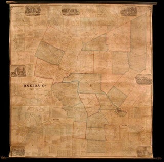
BEERS, S. N., D. J. Lake, and F. W. Beers...
Gillette's Map of Oneida Co. New York from actual surveys...
Price: $3,850.00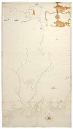
BERNARD, Sir Francis (1712-1779), and Francis MILLER (1733-1800), after surveys...
Manuscript Map of the Kennebec River in Maine, from its...
Price: $39,500.00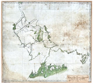
BERNARD, Sir Francis (1712-1779), and Francis MILLER, Surveyor (1733-1800)
Manuscript Map on Vellum Depicting Colonial Governor of Massachusetts Sir...
Price: $285,000.00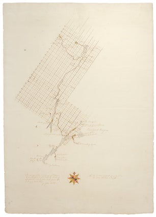
BERNARD, Sir Francis (1712-1779), and John NORTH, Surveyor (c.1708-1763)
Manuscript Map of the St. George Inlet and Lower St...
Price: $22,500.00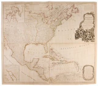
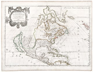
[BOWEN, Emanuel (c. 1720-67) and John GIBSON (fl. 1750-1792)] -...
A New Map of North America, with the West India...
Price: $2,800.00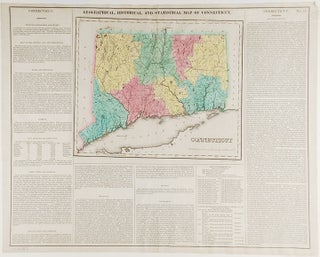
CAREY, Henry Charles and Isaac LEA (publishers)
Connecticut. Geographical, Historic and Statistical Map of Connecticut
Price: $200.00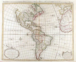
DE L'ISLE, Guillaume and Covens & Mortier
Carte D'Amerique Dressée pour l'Usage du Roy...1739. America Accurate in...
Price: $800.00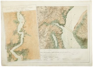
DES BARRES, J. F. W. (1721-1824), publisher - Samuel HOLLAND...
A plan of Fort Montgomery and Fort Clinton, taken by...
Price: $22,500.00![Item #34405 [Untitled chart of Boston Bay]. J. F. W. SAMUEL HOLLAND DES BARRES, publisher, and](https://donaldheald.cdn.bibliopolis.com/pictures/34405.jpg?width=320&height=427&fit=bounds&auto=webp&v=1581108978)
DES BARRES, J. F. W. (publisher) [and] SAMUEL HOLLAND
[Untitled chart of Boston Bay]
Price: $15,000.00![Item #33412 [Buzzards Bay and Vineyard Sound.]. JOSEPH FREDERICK WALLET DES BARRES, SAMUEL HOLLAND](https://donaldheald.cdn.bibliopolis.com/pictures/33412.jpg?width=320&height=427&fit=bounds&auto=webp&v=1491932250)
DES BARRES, JOSEPH FREDERICK WALLET (1721-1824) and SAMUEL HOLLAND
[Buzzards Bay and Vineyard Sound.]
Price: $28,500.00
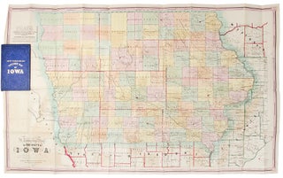
IOWA - HENN, WILLIAMS & Co. and R. BARNES (publishers)...
A Township Map of the State of Iowa Compiled from...
Price: $600.00![Item #29762 Plan of Amelia Island in East Florida [and] A Chart of the Entrance into St. Mary's...](https://donaldheald.cdn.bibliopolis.com/pictures/29762.jpg?width=320&height=427&fit=bounds&auto=webp&v=1668717436)
JEFFERYS, Thomas (1719-1771,) William FULLER and William Gerard DE BRAHM...
Plan of Amelia Island in East Florida [and] A Chart...
Price: $7,500.00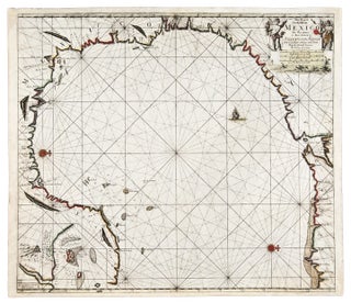
KEULEN, Johannes van (1654-1715) and Claes Janszoon VOOGHT (d. 1696)...
Pas-kaart van de Golff van Mexico
Price: $5,750.00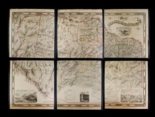
LOWE, Theodore H. and Francis F. BRUNÉ
Map of Clear Creek County, Colorado. Drawn and compiled by...
Price: $29,500.00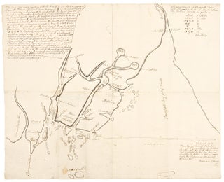
[MAINE] - BRENTON, Jahleel; and William ELLERY
[Manuscript map of the "Waldo Patent" principally depicting the land...
Price: $60,000.00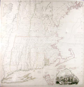
[MEAD, Braddock, alias John GREEN (c.1688-1757)] and Georges Louis LE...
A Map of the most Inhabited part of New England...
Price: $7,500.00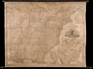
MITCHELL, S. Augustus (1792-1868), and James H. YOUNG (fl.1817-50)
Mitchell's Reference and Distance Map of the United States.
Price: $6,500.00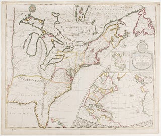
MORDEN, Robert (d.1703) and Christopher BROWN
A New Map of the English Empire in America Viz...
Price: $22,500.00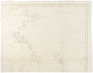
NORMAN, John; and Osgood CARLETON
Chart from New York to Timber Island including Nantucket Shoals...
Price: $39,500.00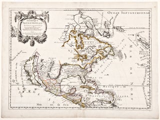
Results 1 - 22 (of 22)